
mapping &
3d modeling
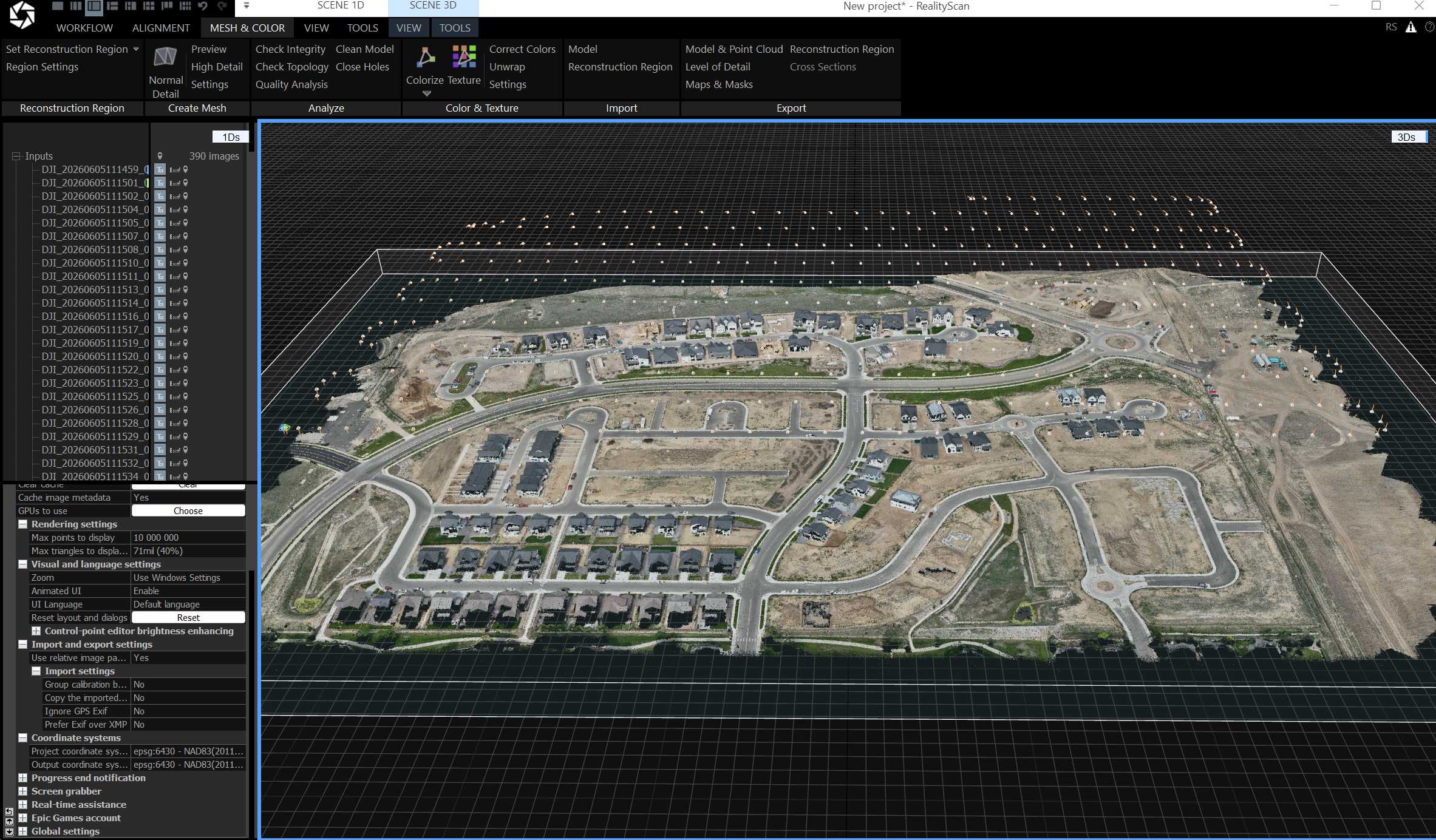
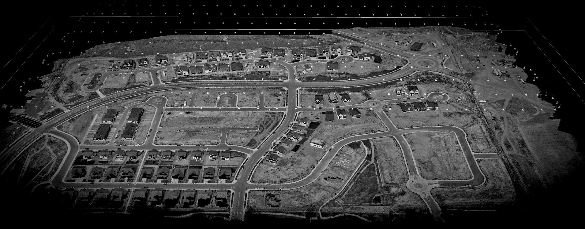
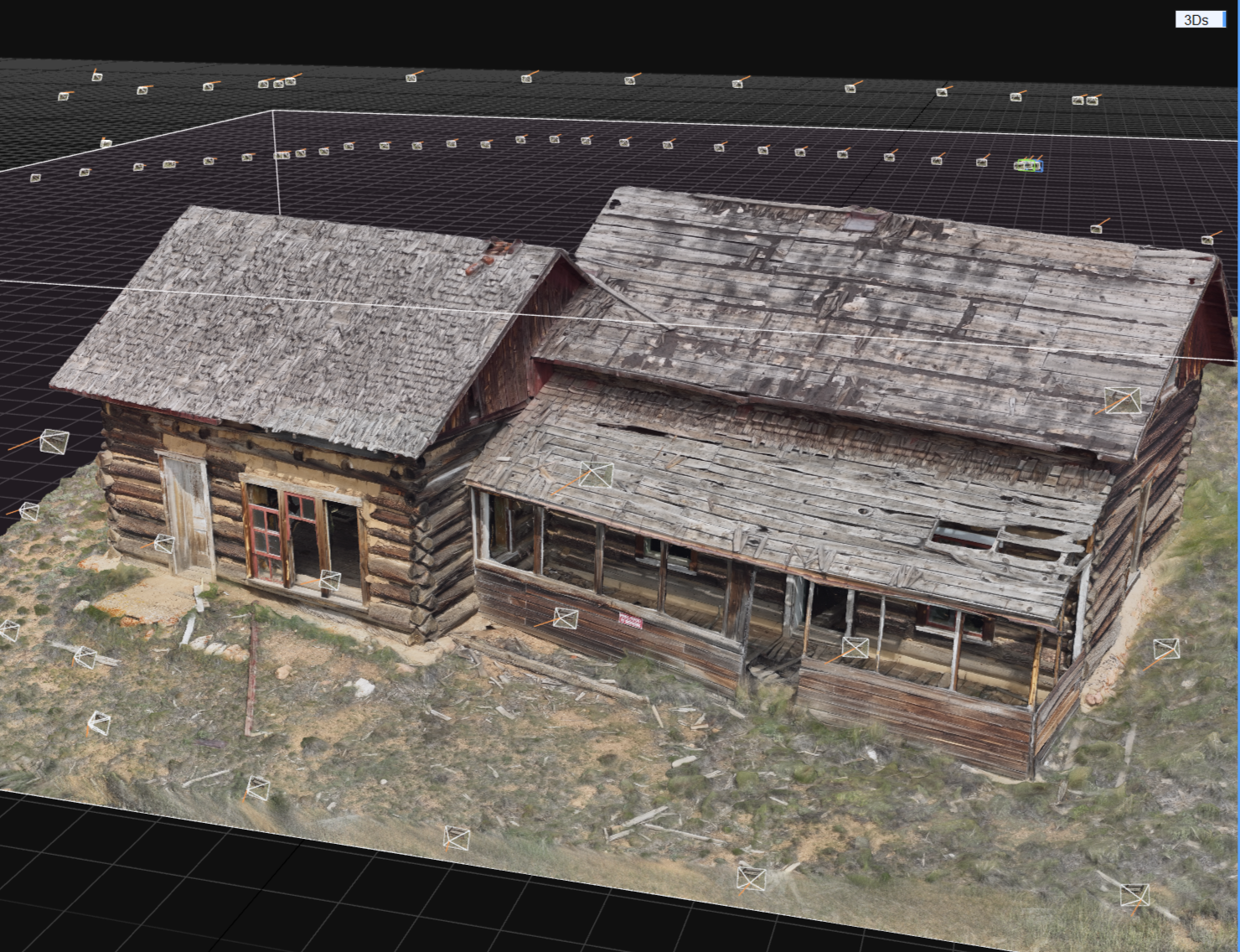
Transform how you plan, build, and manage your assets with high-precision aerial mapping and 3D modeling. We convert complex job sites and properties into actionable digital data, providing project stakeholders with the clarity needed to mitigate risk and accelerate decision-making. From detailed volumetric measurements and topographic surveys for construction and mining, to immersive 3D digital twins of commercial campuses and historic structures, our data-driven approach bridges the gap between the field and the office. Whether you are tracking progress over time or planning for future development, we provide the accurate, measurable visual intelligence you need to stay on schedule and under budget.
Get a quote
Interested in finding out how we can help you or your business? Fill out some info and we will be in touch shortly. We can’t wait to hear from you!